Path to Blackbrook Reservoir
Introduction
The photograph on this page of Path to Blackbrook Reservoir by Mat Fascione as part of the Geograph project.
The Geograph project started in 2005 with the aim of publishing, organising and preserving representative images for every square kilometre of Great Britain, Ireland and the Isle of Man.

There are currently over 7.5m images from over 14,400 individuals and you can help contribute to the project by visiting https://www.geograph.org.uk
Path to Blackbrook Reservoir
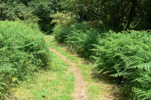
Image: © Mat Fascione Taken: 26 Jun 2010
This public footpath runs from Oaks Road near Mount St Bernard Abbey, down through Kitehill Plantation, and past the eastern end of Blackbrook Reservoir.
Images are licensed for reuse under creativecommons.org/licenses/by-sa/2.0
Image Location
Latitude
52.743364
Longitude
-1.319754