Batson Creek
Introduction
The photograph on this page of Batson Creek by Derek Harper as part of the Geograph project.
The Geograph project started in 2005 with the aim of publishing, organising and preserving representative images for every square kilometre of Great Britain, Ireland and the Isle of Man.

There are currently over 7.5m images from over 14,400 individuals and you can help contribute to the project by visiting https://www.geograph.org.uk
Batson Creek
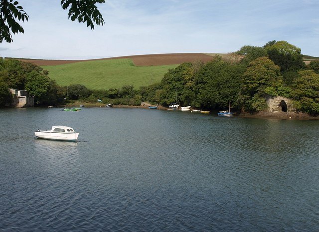
Image: © Derek Harper Taken: 2 Oct 2010
Looking across the creek from Gould Road to the bay shown in Image; the boathouse is on the left. On the right is a listed lime kiln http://www.britishlistedbuildings.co.uk/en-397213-lime-kiln-remains-on-north-shore-of-cree - see Image
Images are licensed for reuse under creativecommons.org/licenses/by-sa/2.0
Image Location


Leaflet Map data © OpenStreetMap
Latitude
50.244146
Longitude
-3.770967