2010 : Railway bridge south of Witham Friary
Introduction
The photograph on this page of 2010 : Railway bridge south of Witham Friary by Maurice Pullin as part of the Geograph project.
The Geograph project started in 2005 with the aim of publishing, organising and preserving representative images for every square kilometre of Great Britain, Ireland and the Isle of Man.

There are currently over 7.5m images from over 14,400 individuals and you can help contribute to the project by visiting https://www.geograph.org.uk
2010 : Railway bridge south of Witham Friary
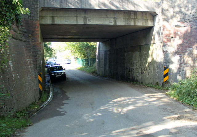
Image: © Maurice Pullin Taken: 25 Sep 2010
The main line between Westbury and the south west crosses a minor road heading south from Witham Friary. Seen from the opposite direction in Image]
Images are licensed for reuse under creativecommons.org/licenses/by-sa/2.0
Image Location
Latitude
51.166411
Longitude
-2.366081