Bardon Aggregates
Introduction
The photograph on this page of Bardon Aggregates by Ashley Dace as part of the Geograph project.
The Geograph project started in 2005 with the aim of publishing, organising and preserving representative images for every square kilometre of Great Britain, Ireland and the Isle of Man.

There are currently over 7.5m images from over 14,400 individuals and you can help contribute to the project by visiting https://www.geograph.org.uk
Bardon Aggregates
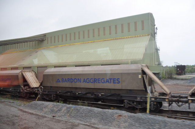
Image: © Ashley Dace Taken: 8 Oct 2010
A view of a train ready to load with the 'toastrack' in the background. Please note this was with an organised geology trip, venturing onto quarries is very dangerous. Especially as this one blasts during the week.
Images are licensed for reuse under creativecommons.org/licenses/by-sa/2.0
Image Location
Latitude
52.713355
Longitude
-1.338576