Close-up of Wouldham Village Sign
Introduction
The photograph on this page of Close-up of Wouldham Village Sign by David Anstiss as part of the Geograph project.
The Geograph project started in 2005 with the aim of publishing, organising and preserving representative images for every square kilometre of Great Britain, Ireland and the Isle of Man.

There are currently over 7.5m images from over 14,400 individuals and you can help contribute to the project by visiting https://www.geograph.org.uk
Close-up of Wouldham Village Sign
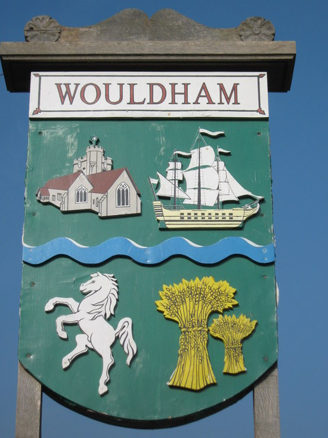
Image: © David Anstiss Taken: 8 Oct 2010
A close-up of Image It shows Image All Saints Church, a sailing ship , the River Medway (which is to the immediate West of the village), Invicta (the prancing horse symbol of Kent), and hay stacks.
Images are licensed for reuse under creativecommons.org/licenses/by-sa/2.0
Image Location
Latitude
51.34945
Longitude
0.458027