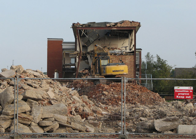
Demolition of Netherhall Lower School - 28
Introduction
The photograph on this page of Demolition of Netherhall Lower School - 28 by John Sutton as part of the Geograph project.
The Geograph project started in 2005 with the aim of publishing, organising and preserving representative images for every square kilometre of Great Britain, Ireland and the Isle of Man.
There are currently over 7.5m images from over 14,400 individuals and you can help contribute to the project by visiting https://www.geograph.org.uk

Image: © John Sutton Taken: 8 Oct 2010
The East Wing's central stair well has gone since yesterday. The contractors are now demolishing the top-floor English classrooms and the Library below. I have happy memories of teaching in those classrooms from 1979-2001, and of a lot of smashing students. If, reader, you were one of them, thank you for making my job so entertaining and fulfilling. For a similar view earlier in the week, see Image] .
Image Location


