Liverpool Road, Newcastle-Under-Lyme
Introduction
The photograph on this page of Liverpool Road, Newcastle-Under-Lyme by Derek Harper as part of the Geograph project.
The Geograph project started in 2005 with the aim of publishing, organising and preserving representative images for every square kilometre of Great Britain, Ireland and the Isle of Man.

There are currently over 7.5m images from over 14,400 individuals and you can help contribute to the project by visiting https://www.geograph.org.uk
Liverpool Road, Newcastle-Under-Lyme
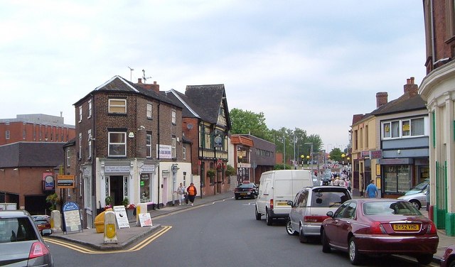
Image: © Derek Harper Taken: 30 Jun 2006
The junction with Bridge Street (left). The gabled building with the timber-effect facade is the Full Moon pub.
Images are licensed for reuse under creativecommons.org/licenses/by-sa/2.0
Image Location
Latitude
53.012524
Longitude
-2.22964