Dimsdale Parade East, Wolstanton
Introduction
The photograph on this page of Dimsdale Parade East, Wolstanton by Derek Harper as part of the Geograph project.
The Geograph project started in 2005 with the aim of publishing, organising and preserving representative images for every square kilometre of Great Britain, Ireland and the Isle of Man.

There are currently over 7.5m images from over 14,400 individuals and you can help contribute to the project by visiting https://www.geograph.org.uk
Dimsdale Parade East, Wolstanton
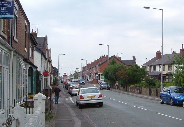
Image: © Derek Harper Taken: 30 Jun 2006
A reverse view of Image, with the Crescent shown in Image on the right. The crossroads is with Wolseley Road / Watlands View.
Images are licensed for reuse under creativecommons.org/licenses/by-sa/2.0
Image Location
Latitude
53.032574
Longitude
-2.227361