Wolstanton Marsh
Introduction
The photograph on this page of Wolstanton Marsh by Derek Harper as part of the Geograph project.
The Geograph project started in 2005 with the aim of publishing, organising and preserving representative images for every square kilometre of Great Britain, Ireland and the Isle of Man.

There are currently over 7.5m images from over 14,400 individuals and you can help contribute to the project by visiting https://www.geograph.org.uk
Wolstanton Marsh
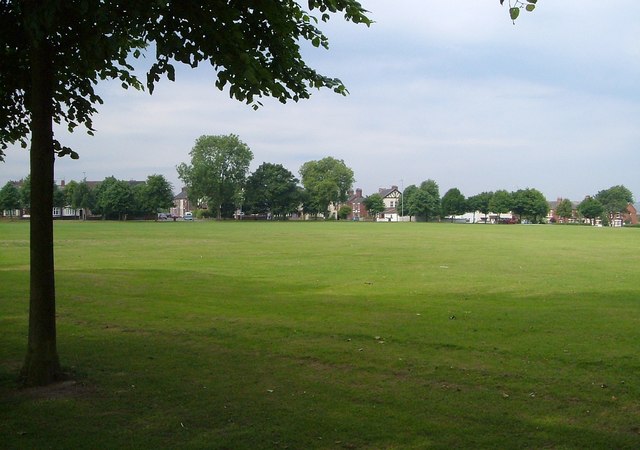
Image: © Derek Harper Taken: 30 Jun 2006
See Image; this is roughly a reverse view taken from beneath the trees beside Church Lane. on the far side is Alexandra Road. Wolstanton Marsh is access land.
Images are licensed for reuse under creativecommons.org/licenses/by-sa/2.0
Image Location
Latitude
53.02639
Longitude
-2.217638