Wat's Dyke at Hendle hall
Introduction
The photograph on this page of Wat's Dyke at Hendle hall by Linnet as part of the Geograph project.
The Geograph project started in 2005 with the aim of publishing, organising and preserving representative images for every square kilometre of Great Britain, Ireland and the Isle of Man.

There are currently over 7.5m images from over 14,400 individuals and you can help contribute to the project by visiting https://www.geograph.org.uk
Wat's Dyke at Hendle hall
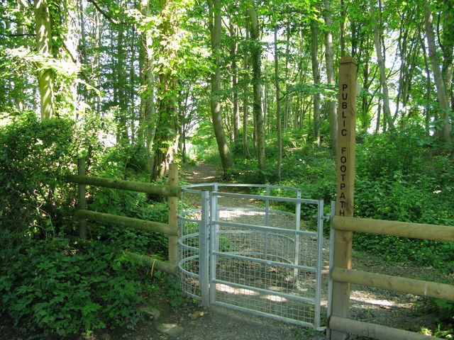
Image: © Linnet Taken: 20 Jun 2010
This is the 'kissing gate' at the junction with Preshendle lane where the footpath leads down to the Sarn Bridge crossing the Llangollen canal
Images are licensed for reuse under creativecommons.org/licenses/by-sa/2.0
Image Location
Latitude
52.911994
Longitude
-3.03122