Tywardreath: bridge abutment
Introduction
The photograph on this page of Tywardreath: bridge abutment by Martin Bodman as part of the Geograph project.
The Geograph project started in 2005 with the aim of publishing, organising and preserving representative images for every square kilometre of Great Britain, Ireland and the Isle of Man.

There are currently over 7.5m images from over 14,400 individuals and you can help contribute to the project by visiting https://www.geograph.org.uk
Tywardreath: bridge abutment
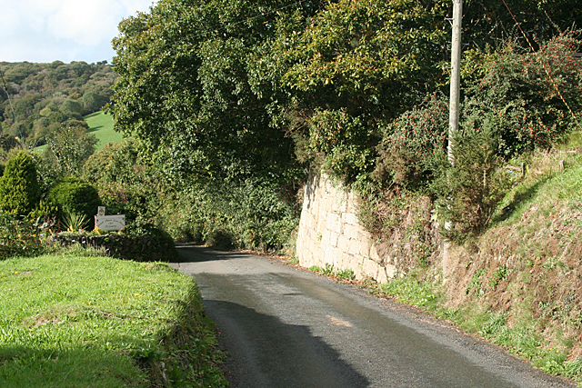
Image: © Martin Bodman Taken: 6 Oct 2010
Possibly the last vestige of the northern inclined plane linking Fowey Consols with a basin on the Par Canal. Built in 1834, and powered by a 30hp waterwheel at the incline head, the plane was used to bring materials up to the mine - for instance coal from Par harbour, to power the steam pumping engines on the mine. The mine and incline - which was in tunnel under the Lostwithiel-St Blazey road - closed in 1867. A second incline ran from Porcupine Lane to the canal basin; worked by gravity, it carried copper ores to the canal. These were then trans-shipped at Par and sailed to Swansea in south Wales for smelting [Source: Jim Lewis, A Richly Yielding Piece of Ground, Cornish Hillside Publications, 1997]. The bridge and embankment to the west were demolished long ago and a bungalow now stands on the course of the inclined plane. In Tywardreath parish
Images are licensed for reuse under creativecommons.org/licenses/by-sa/2.0
Image Location
Latitude
50.371135
Longitude
-4.705575