Bourne Place
Introduction
The photograph on this page of Bourne Place by Nikki Mahadevan as part of the Geograph project.
The Geograph project started in 2005 with the aim of publishing, organising and preserving representative images for every square kilometre of Great Britain, Ireland and the Isle of Man.

There are currently over 7.5m images from over 14,400 individuals and you can help contribute to the project by visiting https://www.geograph.org.uk
Bourne Place
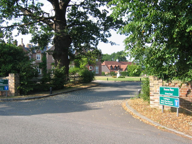
Image: © Nikki Mahadevan Taken: 25 Jul 2006
Previously a special school, it has now been redeveloped for housing. This road leads to Bourne Place House and Bourne Place Courtyard.
Images are licensed for reuse under creativecommons.org/licenses/by-sa/2.0
Image Location
Latitude
51.220932
Longitude
0.219595