Market Street, Broadley
Introduction
The photograph on this page of Market Street, Broadley by Bill Boaden as part of the Geograph project.
The Geograph project started in 2005 with the aim of publishing, organising and preserving representative images for every square kilometre of Great Britain, Ireland and the Isle of Man.

There are currently over 7.5m images from over 14,400 individuals and you can help contribute to the project by visiting https://www.geograph.org.uk
Market Street, Broadley
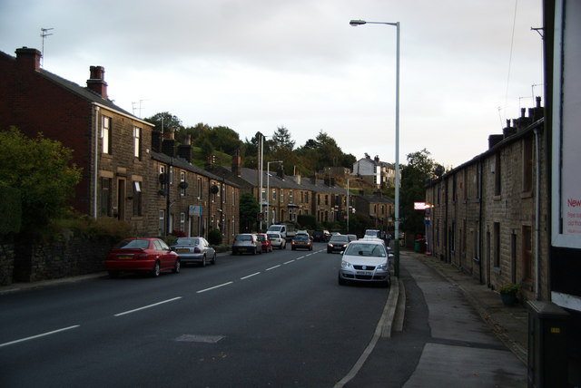
Image: © Bill Boaden Taken: 6 Oct 2010
This is the A671 between Rochdale and Bacup. This valley is a classic case of ribbon development, and the villages all merge into each other to provide unbroken conurbation.
Images are licensed for reuse under creativecommons.org/licenses/by-sa/2.0
Image Location
Latitude
53.642266
Longitude
-2.180111