Housing and landscaping at Orchard Way, Lower Cambourne
Introduction
The photograph on this page of Housing and landscaping at Orchard Way, Lower Cambourne by John Brightley as part of the Geograph project.
The Geograph project started in 2005 with the aim of publishing, organising and preserving representative images for every square kilometre of Great Britain, Ireland and the Isle of Man.

There are currently over 7.5m images from over 14,400 individuals and you can help contribute to the project by visiting https://www.geograph.org.uk
Housing and landscaping at Orchard Way, Lower Cambourne
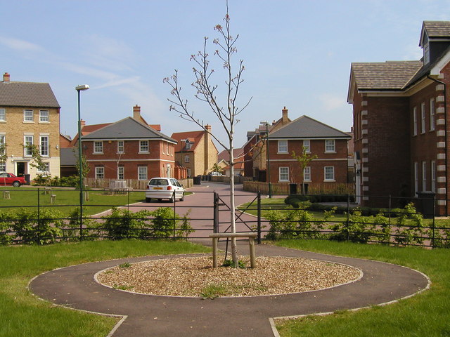
Image: © John Brightley Taken: 13 May 2004
Built by Bovis Homes Central Region c.2001 as part of phase LC01. The hipped roofed houses either side of the road in the middle background were intended to give the impression of 'gate houses' and were designed specifically for this phase.
Images are licensed for reuse under creativecommons.org/licenses/by-sa/2.0
Image Location
Latitude
52.216545
Longitude
-0.079514