Path to the eastern side of Old Dixton Road, Monmouth
Introduction
The photograph on this page of Path to the eastern side of Old Dixton Road, Monmouth by Jaggery as part of the Geograph project.
The Geograph project started in 2005 with the aim of publishing, organising and preserving representative images for every square kilometre of Great Britain, Ireland and the Isle of Man.

There are currently over 7.5m images from over 14,400 individuals and you can help contribute to the project by visiting https://www.geograph.org.uk
Path to the eastern side of Old Dixton Road, Monmouth
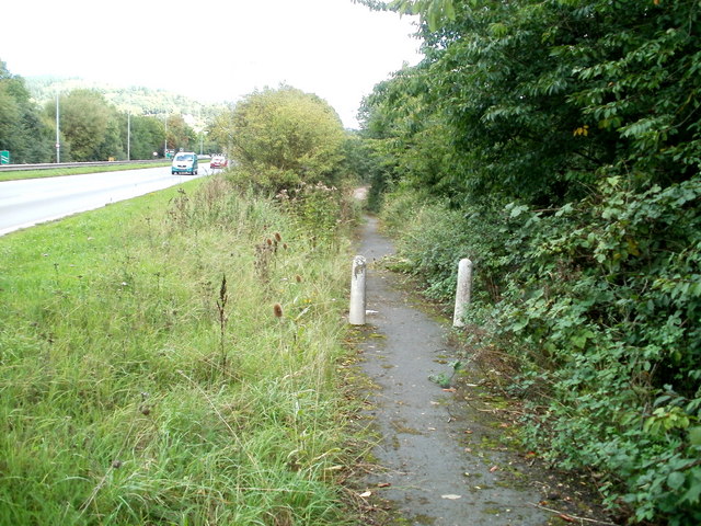
Image: © Jaggery Taken: 12 Sep 2010
The present course of the A40 cuts across the former route of Old Dixton Road. Both ends of the severed road now end in footpaths. This footpath, on the east side of the A40, leads to the short remnant of the eastern end of Old Dixton Road.
Images are licensed for reuse under creativecommons.org/licenses/by-sa/2.0
Image Location
Latitude
51.816212
Longitude
-2.704986