Sports field, eastern Monmouth
Introduction
The photograph on this page of Sports field, eastern Monmouth by Jaggery as part of the Geograph project.
The Geograph project started in 2005 with the aim of publishing, organising and preserving representative images for every square kilometre of Great Britain, Ireland and the Isle of Man.

There are currently over 7.5m images from over 14,400 individuals and you can help contribute to the project by visiting https://www.geograph.org.uk
Sports field, eastern Monmouth
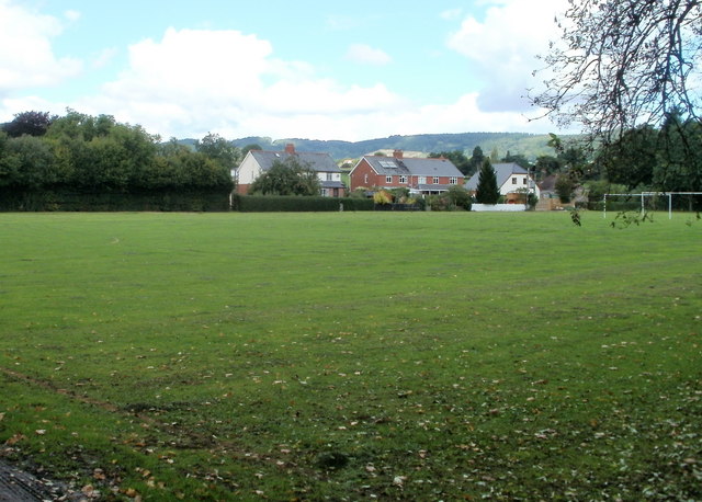
Image: © Jaggery Taken: 12 Sep 2010
Located between the A40 and Dixton Road (A466), the field is used for various sports. In this photo, taken in September, football goalposts can be seen near the right edge.
Images are licensed for reuse under creativecommons.org/licenses/by-sa/2.0
Image Location
Latitude
51.817111
Longitude
-2.705