Crab and Winkle Way under the Whitstable/Faversham railway
Introduction
The photograph on this page of Crab and Winkle Way under the Whitstable/Faversham railway by David Anstiss as part of the Geograph project.
The Geograph project started in 2005 with the aim of publishing, organising and preserving representative images for every square kilometre of Great Britain, Ireland and the Isle of Man.

There are currently over 7.5m images from over 14,400 individuals and you can help contribute to the project by visiting https://www.geograph.org.uk
Crab and Winkle Way under the Whitstable/Faversham railway
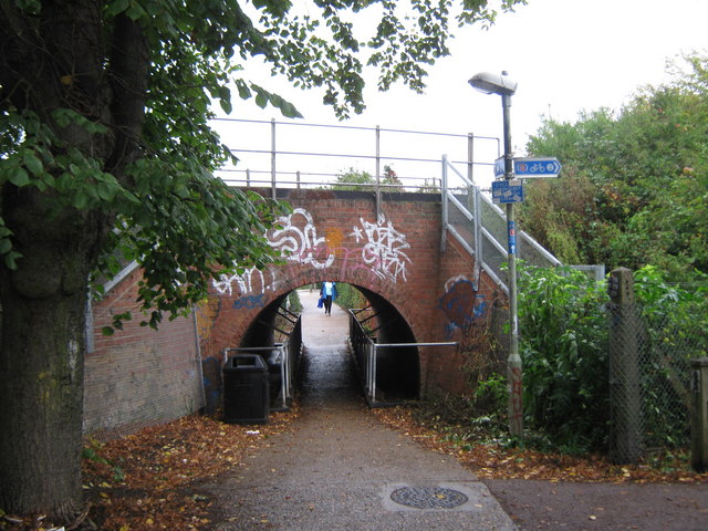
Image: © David Anstiss Taken: 5 Oct 2010
The long distance cycleway leads along Stream Walk under the railway towards Albert Street. It also heads right along the railway towards Whitstable Railway Station.
Images are licensed for reuse under creativecommons.org/licenses/by-sa/2.0
Image Location
Latitude
51.356376
Longitude
1.029825