Capel Tabernacl
Introduction
The photograph on this page of Capel Tabernacl by Jonathan Wilkins as part of the Geograph project.
The Geograph project started in 2005 with the aim of publishing, organising and preserving representative images for every square kilometre of Great Britain, Ireland and the Isle of Man.

There are currently over 7.5m images from over 14,400 individuals and you can help contribute to the project by visiting https://www.geograph.org.uk
Capel Tabernacl
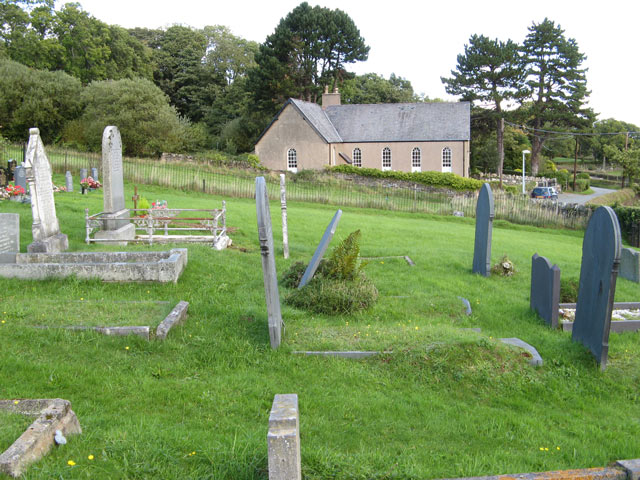
Image: © Jonathan Wilkins Taken: 6 Oct 2010
The small, rather plain but dignified building at the side of the road to Llangelynin is viewed here from within the adjacent burial ground.
Images are licensed for reuse under creativecommons.org/licenses/by-sa/2.0
Image Location
Latitude
53.261914
Longitude
-3.85777