Bottom part of Piccadilly
Introduction
The photograph on this page of Bottom part of Piccadilly by Stephen Armstrong as part of the Geograph project.
The Geograph project started in 2005 with the aim of publishing, organising and preserving representative images for every square kilometre of Great Britain, Ireland and the Isle of Man.

There are currently over 7.5m images from over 14,400 individuals and you can help contribute to the project by visiting https://www.geograph.org.uk
Bottom part of Piccadilly
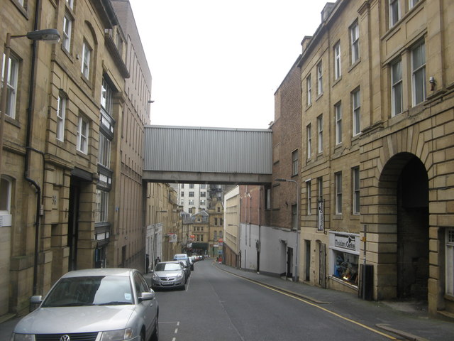
Image: © Stephen Armstrong Taken: 5 Oct 2010
Viewed from Duke Street. The bridge connects the Marks & Spencer store on Darley Street (to the right), with the warehouse (to the left).
Images are licensed for reuse under creativecommons.org/licenses/by-sa/2.0
Image Location
Latitude
53.795846
Longitude
-1.753879