Black Country Living Museum, boat dock
Introduction
The photograph on this page of Black Country Living Museum, boat dock by Mike Faherty as part of the Geograph project.
The Geograph project started in 2005 with the aim of publishing, organising and preserving representative images for every square kilometre of Great Britain, Ireland and the Isle of Man.

There are currently over 7.5m images from over 14,400 individuals and you can help contribute to the project by visiting https://www.geograph.org.uk
Black Country Living Museum, boat dock
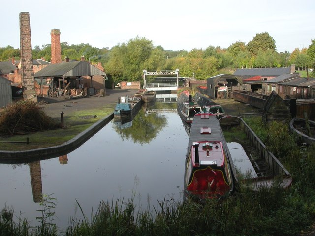
Image: © Mike Faherty Taken: 2 Oct 2010
Castle Fields Boat Dock, looking towards a relocated lifting bridge, and beyond that a travelling bridge on the Birmingham Canal. http://www.bclm.co.uk/map46.htm
Images are licensed for reuse under creativecommons.org/licenses/by-sa/2.0
Image Location
Latitude
52.523243
Longitude
-2.07527