Rose Street
Introduction
The photograph on this page of Rose Street by P L Chadwick as part of the Geograph project.
The Geograph project started in 2005 with the aim of publishing, organising and preserving representative images for every square kilometre of Great Britain, Ireland and the Isle of Man.

There are currently over 7.5m images from over 14,400 individuals and you can help contribute to the project by visiting https://www.geograph.org.uk
Rose Street
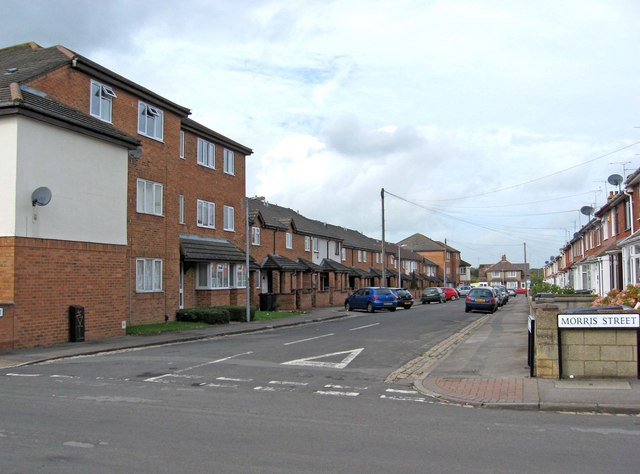
Image: © P L Chadwick Taken: 5 Oct 2010
The older parts of Rodbourne were laid out on a grid pattern, with mainly terraced housing. In recent years there has been much infilling and extension, with modern housing, some of which has been built on the sites of demolished buildings, or on former allotment land. Rose Street is typical in containing both old and new housing stock.
Images are licensed for reuse under creativecommons.org/licenses/by-sa/2.0
Image Location
Latitude
51.564344
Longitude
-1.804761