Roseisle Forest
Introduction
The photograph on this page of Roseisle Forest by Anne Burgess as part of the Geograph project.
The Geograph project started in 2005 with the aim of publishing, organising and preserving representative images for every square kilometre of Great Britain, Ireland and the Isle of Man.

There are currently over 7.5m images from over 14,400 individuals and you can help contribute to the project by visiting https://www.geograph.org.uk
Roseisle Forest
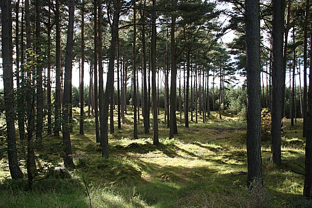
Image: © Anne Burgess Taken: 30 Sep 2010
The extensive forest plantations of Roseisle Forest border the B9089 as it passes through this square.
Images are licensed for reuse under creativecommons.org/licenses/by-sa/2.0
Image Location
Latitude
57.695204
Longitude
-3.474079