View of the Stinchar Valley
Introduction
The photograph on this page of View of the Stinchar Valley by Harriet Ellis as part of the Geograph project.
The Geograph project started in 2005 with the aim of publishing, organising and preserving representative images for every square kilometre of Great Britain, Ireland and the Isle of Man.

There are currently over 7.5m images from over 14,400 individuals and you can help contribute to the project by visiting https://www.geograph.org.uk
View of the Stinchar Valley
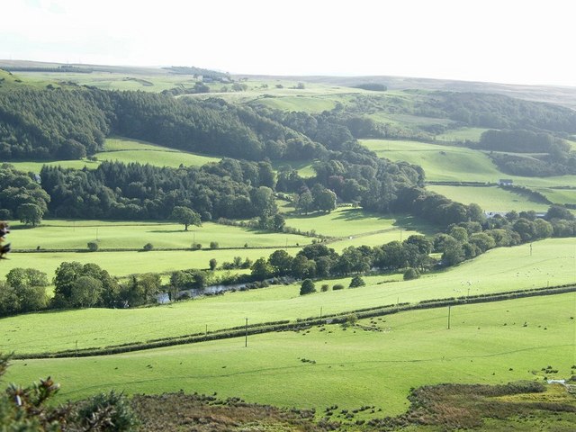
Image: © Harriet Ellis Taken: 15 Sep 2010
Looking from the side of Prieston Hill across the river towards Dalreoch wood. The road between Pinwherry and Colmonell running parallel to the river.
Images are licensed for reuse under creativecommons.org/licenses/by-sa/2.0
Image Location
Latitude
55.136224
Longitude
-4.881173