Grant Street
Introduction
The photograph on this page of Grant Street by Anne Burgess as part of the Geograph project.
The Geograph project started in 2005 with the aim of publishing, organising and preserving representative images for every square kilometre of Great Britain, Ireland and the Isle of Man.

There are currently over 7.5m images from over 14,400 individuals and you can help contribute to the project by visiting https://www.geograph.org.uk
Grant Street
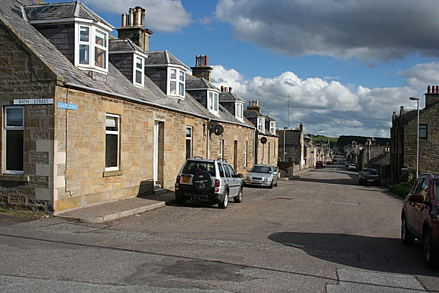
Image: © Anne Burgess Taken: 30 Sep 2010
The 1:50,000 map colours Grant Street in yellow and Granary Street, which terminates at the harbour, in brown, as the B9013. In terms of the town layout, however, it is Grant Street which is the principal street of the town, running arrow-straight from the outskirts to the promontory at the seaward end.
Images are licensed for reuse under creativecommons.org/licenses/by-sa/2.0
Image Location
Latitude
57.702858
Longitude
-3.495534