Longhurst Lane, Mellor
Introduction
The photograph on this page of Longhurst Lane, Mellor by Bill Boaden as part of the Geograph project.
The Geograph project started in 2005 with the aim of publishing, organising and preserving representative images for every square kilometre of Great Britain, Ireland and the Isle of Man.

There are currently over 7.5m images from over 14,400 individuals and you can help contribute to the project by visiting https://www.geograph.org.uk
Longhurst Lane, Mellor
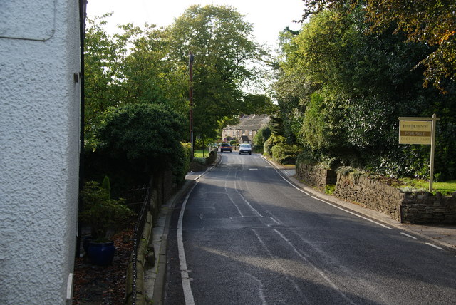
Image: © Bill Boaden Taken: 30 Sep 2010
Mellor is long and thin and spread out along this lane. The lane is still narrow in places and for most of its length does not have a pavement.
Images are licensed for reuse under creativecommons.org/licenses/by-sa/2.0
Image Location
Latitude
53.392609
Longitude
-2.036952