Mugdock
Introduction
The photograph on this page of Mugdock by Stephen Sweeney as part of the Geograph project.
The Geograph project started in 2005 with the aim of publishing, organising and preserving representative images for every square kilometre of Great Britain, Ireland and the Isle of Man.

There are currently over 7.5m images from over 14,400 individuals and you can help contribute to the project by visiting https://www.geograph.org.uk
Mugdock
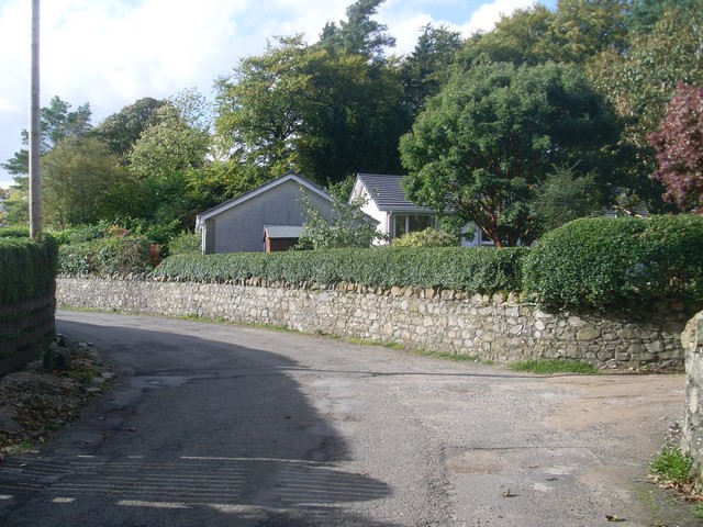
Image: © Stephen Sweeney Taken: 5 Oct 2010
Small settlement near Milngavie, more famous for its nearby reservoir and Country Park.
Images are licensed for reuse under creativecommons.org/licenses/by-sa/2.0
Image Location
Latitude
55.9631
Longitude
-4.308107