Farmland near Ty'n Rhos Neigwl
Introduction
The photograph on this page of Farmland near Ty'n Rhos Neigwl by David Medcalf as part of the Geograph project.
The Geograph project started in 2005 with the aim of publishing, organising and preserving representative images for every square kilometre of Great Britain, Ireland and the Isle of Man.

There are currently over 7.5m images from over 14,400 individuals and you can help contribute to the project by visiting https://www.geograph.org.uk
Farmland near Ty'n Rhos Neigwl
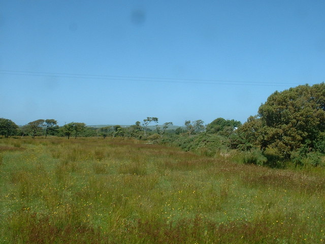
Image: © David Medcalf Taken: 13 Jul 2006
Poor quality land. Looking north, Ty'n Rhos Neigwl is just visible to the right of centre.
Images are licensed for reuse under creativecommons.org/licenses/by-sa/2.0
Image Location


Leaflet Map data © OpenStreetMap
Latitude
52.831218
Longitude
-4.58577