South side of Barker Crossing
Introduction
The photograph on this page of South side of Barker Crossing by Rose and Trev Clough as part of the Geograph project.
The Geograph project started in 2005 with the aim of publishing, organising and preserving representative images for every square kilometre of Great Britain, Ireland and the Isle of Man.

There are currently over 7.5m images from over 14,400 individuals and you can help contribute to the project by visiting https://www.geograph.org.uk
South side of Barker Crossing
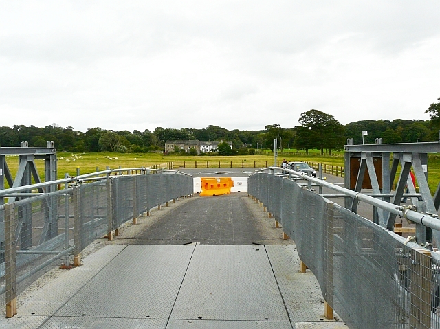
Image: © Rose and Trev Clough Taken: 28 Aug 2010
For background information see Image . This is on Mill Field - Workington Hall Mill can be seen in the distance. Bus services operated between here and the town centre until a new temporary road bridge reconnected the north and south sides of Workington in April 2010. The area of hardstanding was for the buses to turn - private vehicles were not allowed here or on the access road.
Images are licensed for reuse under creativecommons.org/licenses/by-sa/2.0
Image Location
Latitude
54.648338
Longitude
-3.535314