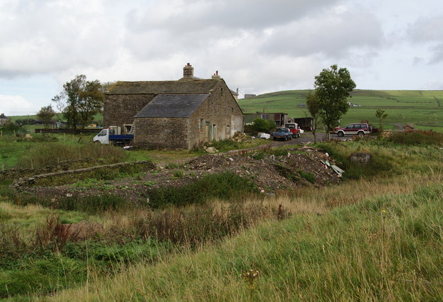
A Rossendale farm
Introduction
The photograph on this page of A Rossendale farm by Bill Boaden as part of the Geograph project.
The Geograph project started in 2005 with the aim of publishing, organising and preserving representative images for every square kilometre of Great Britain, Ireland and the Isle of Man.
There are currently over 7.5m images from over 14,400 individuals and you can help contribute to the project by visiting https://www.geograph.org.uk

Image: © Bill Boaden Taken: 2 Oct 2010
Information provided by Jeff Brown: The place is called "Wholaw Tongue", one of the last remaining places with 'Wholaw' in their title - the others were a bit further north, around Crown Point / Dunnockshaw. The spelling 'Wholaw' was quite variable over the years - the church register has quite a number of references to the various 'wholaw' places. My great great grandparents lived at Wholaw Tongue in the 1870's, before moving to the 'Heights' at Great Clough in the Goodshaw Fold / Love Clough area. There is a small clutch of one time farmsteads of similar vintage up there including 'Top of Height', Gt. Clough Farm, New Laithe etc. One of them is a re-build on the site of the old farmhouse & re-using the old stones.

