Fields North of A632
Introduction
The photograph on this page of Fields North of A632 by Stephen G Taylor as part of the Geograph project.
The Geograph project started in 2005 with the aim of publishing, organising and preserving representative images for every square kilometre of Great Britain, Ireland and the Isle of Man.

There are currently over 7.5m images from over 14,400 individuals and you can help contribute to the project by visiting https://www.geograph.org.uk
Fields North of A632
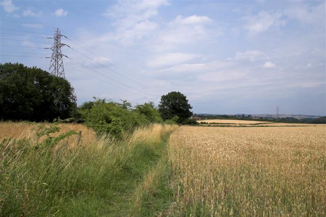
Image: © Stephen G Taylor Taken: 26 Jul 2006
These corn fields appear after following the public footpath north west out of the White Hart car park.
Images are licensed for reuse under creativecommons.org/licenses/by-sa/2.0
Image Location
Latitude
53.235319
Longitude
-1.379703