Pitsham Lane south to Lower Barn
Introduction
The photograph on this page of Pitsham Lane south to Lower Barn by Dave Spicer as part of the Geograph project.
The Geograph project started in 2005 with the aim of publishing, organising and preserving representative images for every square kilometre of Great Britain, Ireland and the Isle of Man.

There are currently over 7.5m images from over 14,400 individuals and you can help contribute to the project by visiting https://www.geograph.org.uk
Pitsham Lane south to Lower Barn
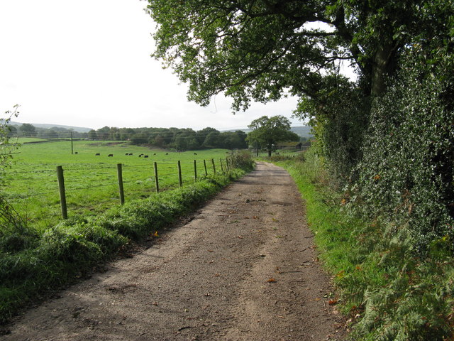
Image: © Dave Spicer Taken: 2 Oct 2010
This bridleway is also part of the Serpent Way, with Pitsham Rough the field on the left.
Images are licensed for reuse under creativecommons.org/licenses/by-sa/2.0
Image Location
Latitude
50.974448
Longitude
-0.751534