Gate, Rea's Wood, Antrim (1)
Introduction
The photograph on this page of Gate, Rea's Wood, Antrim (1) by Albert Bridge as part of the Geograph project.
The Geograph project started in 2005 with the aim of publishing, organising and preserving representative images for every square kilometre of Great Britain, Ireland and the Isle of Man.

There are currently over 7.5m images from over 14,400 individuals and you can help contribute to the project by visiting https://www.geograph.org.uk
Gate, Rea's Wood, Antrim (1)
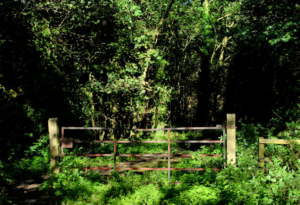
Image: © Albert Bridge Taken: 4 Oct 2010
About half-way through the wood this gate marks the point where the path diverges. Behind me to the left it continues, through the wood towards the loughshore. To the right a path leads to the Dublin Road.
Images are licensed for reuse under creativecommons.org/licenses/by-sa/2.0
Image Location
Latitude
54.70501
Longitude
-6.227757