Chelworth, well house
Introduction
The photograph on this page of Chelworth, well house by Mike Faherty as part of the Geograph project.
The Geograph project started in 2005 with the aim of publishing, organising and preserving representative images for every square kilometre of Great Britain, Ireland and the Isle of Man.

There are currently over 7.5m images from over 14,400 individuals and you can help contribute to the project by visiting https://www.geograph.org.uk
Chelworth, well house
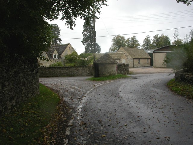
Image: © Mike Faherty Taken: 3 Oct 2010
At crossroads at the hamlet centre; circular stone building, with stone-tiled roof and a door. The building also houses a Victorian wall postbox (SN16 198). Listed by English Heritage, http://www.imagesofengland.org.uk/Details/Default.aspx?id=315675&mode=adv
Images are licensed for reuse under creativecommons.org/licenses/by-sa/2.0
Image Location
Latitude
51.646498
Longitude
-2.044755