Information Marker
Introduction
The photograph on this page of Information Marker by Mr Biz as part of the Geograph project.
The Geograph project started in 2005 with the aim of publishing, organising and preserving representative images for every square kilometre of Great Britain, Ireland and the Isle of Man.

There are currently over 7.5m images from over 14,400 individuals and you can help contribute to the project by visiting https://www.geograph.org.uk
Information Marker
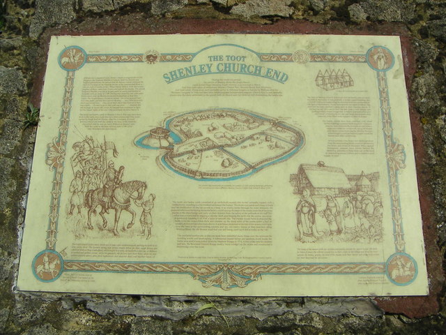
Image: © Mr Biz Taken: 27 Jul 2006
An information plinth just outside of the fenced area of "The Toot", in Shenley Church End.
Images are licensed for reuse under creativecommons.org/licenses/by-sa/2.0
Image Location
Latitude
52.019853
Longitude
-0.794783