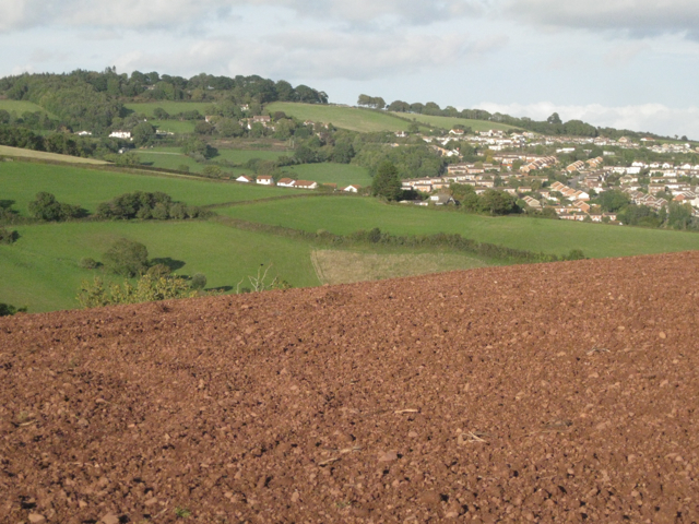
Houses climb the hills above Teignmouth
Introduction
The photograph on this page of Houses climb the hills above Teignmouth by Robin Stott as part of the Geograph project.
The Geograph project started in 2005 with the aim of publishing, organising and preserving representative images for every square kilometre of Great Britain, Ireland and the Isle of Man.
There are currently over 7.5m images from over 14,400 individuals and you can help contribute to the project by visiting https://www.geograph.org.uk

Image: © Robin Stott Taken: 29 Sep 2010
The view is northeast from near the summit of The Lea. Shepherds' Lane descends from the left towards Headway Cross. Coombe Way/Lane is out of sight below the field in the foreground. Woodland on the left skyline is Holcombe Down. Much of the housing on the right is on the eastern slope of the Coombe valley. New housing developments continue to advance up the hillsides.

