Path among the trees next Netherlee playing fields
Introduction
The photograph on this page of Path among the trees next Netherlee playing fields by Alec MacKinnon as part of the Geograph project.
The Geograph project started in 2005 with the aim of publishing, organising and preserving representative images for every square kilometre of Great Britain, Ireland and the Isle of Man.

There are currently over 7.5m images from over 14,400 individuals and you can help contribute to the project by visiting https://www.geograph.org.uk
Path among the trees next Netherlee playing fields
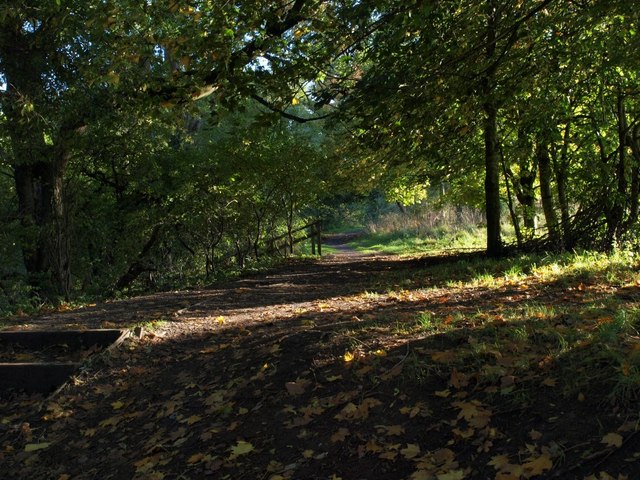
Image: © Alec MacKinnon Taken: 3 Oct 2010
This path runs along the edge of the trees that lie between the playing fields behind Netherlee Primary School, and the River Cart.
Images are licensed for reuse under creativecommons.org/licenses/by-sa/2.0
Image Location
Latitude
55.801757
Longitude
-4.265517