View west towards Crabtree Wood - #2
Introduction
The photograph on this page of View west towards Crabtree Wood - #2 by John Myers as part of the Geograph project.
The Geograph project started in 2005 with the aim of publishing, organising and preserving representative images for every square kilometre of Great Britain, Ireland and the Isle of Man.

There are currently over 7.5m images from over 14,400 individuals and you can help contribute to the project by visiting https://www.geograph.org.uk
View west towards Crabtree Wood - #2
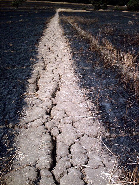
Image: © John Myers Taken: 27 Jul 2006
View west along Hockley Parish FP12 from its junction with FP13. Taken on 27.07.06, a day after a devastating fire swept through several large fields, destroying many acres of standing wheat. The large cracks, evident in the path, attest to the parched state of the area after several weeks of heatwave conditions.
Images are licensed for reuse under creativecommons.org/licenses/by-sa/2.0
Image Location


Leaflet Map data © OpenStreetMap
Latitude
51.610358
Longitude
0.651642