Lamlash: shoreline and parish church
Introduction
The photograph on this page of Lamlash: shoreline and parish church by Chris Downer as part of the Geograph project.
The Geograph project started in 2005 with the aim of publishing, organising and preserving representative images for every square kilometre of Great Britain, Ireland and the Isle of Man.

There are currently over 7.5m images from over 14,400 individuals and you can help contribute to the project by visiting https://www.geograph.org.uk
Lamlash: shoreline and parish church
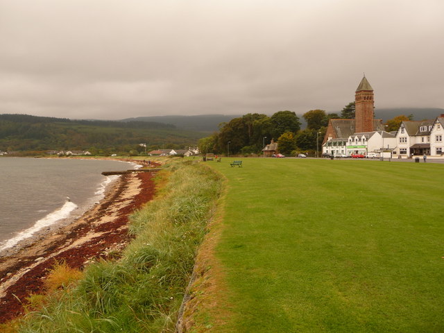
Image: © Chris Downer Taken: 27 Sep 2010
A view along the shore at the village centre, with the parish church (in the next square south) in the background.
Images are licensed for reuse under creativecommons.org/licenses/by-sa/2.0
Image Location
Latitude
55.53328
Longitude
-5.127313