Bed of the Ribble, Settle
Introduction
The photograph on this page of Bed of the Ribble, Settle by Derek Harper as part of the Geograph project.
The Geograph project started in 2005 with the aim of publishing, organising and preserving representative images for every square kilometre of Great Britain, Ireland and the Isle of Man.

There are currently over 7.5m images from over 14,400 individuals and you can help contribute to the project by visiting https://www.geograph.org.uk
Bed of the Ribble, Settle
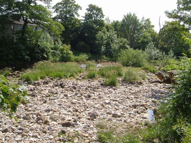
Image: © Derek Harper Taken: 29 Jun 2006
A rocky area of river bed beside the tennis courts east of Settle High School (behind the camera). There is plenty of water in the river, but mostly on the far side.
Images are licensed for reuse under creativecommons.org/licenses/by-sa/2.0
Image Location
Latitude
54.071596
Longitude
-2.284199