Wantz Stream Improvements
Introduction
The photograph on this page of Wantz Stream Improvements by Glyn Baker as part of the Geograph project.
The Geograph project started in 2005 with the aim of publishing, organising and preserving representative images for every square kilometre of Great Britain, Ireland and the Isle of Man.

There are currently over 7.5m images from over 14,400 individuals and you can help contribute to the project by visiting https://www.geograph.org.uk
Wantz Stream Improvements
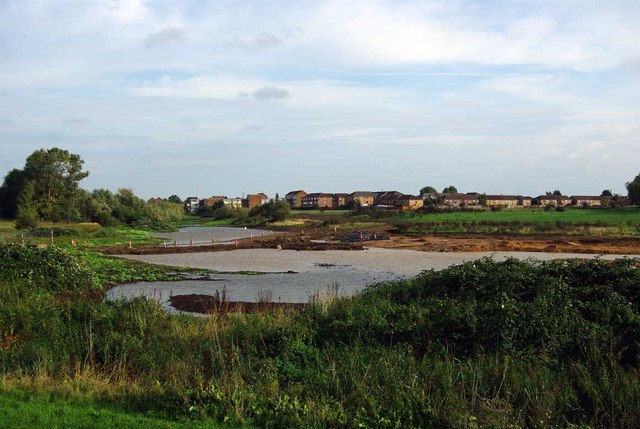
Image: © Glyn Baker Taken: 3 Oct 2010
In 2005 the dikes that prevent flooding from the Beam River and Wantz Stream were reinforced in the Image, the Beam River drains an area of approximately 66sq km so there is the need to control lot of water. Today the whole area is being reshaped to improve flood defences, public amenity and wildlife value of the Image
Images are licensed for reuse under creativecommons.org/licenses/by-sa/2.0
Image Location
Latitude
51.530999
Longitude
0.162699