The B1116 road through Sudbury
Introduction
The photograph on this page of The B1116 road through Sudbury by Evelyn Simak as part of the Geograph project.
The Geograph project started in 2005 with the aim of publishing, organising and preserving representative images for every square kilometre of Great Britain, Ireland and the Isle of Man.

There are currently over 7.5m images from over 14,400 individuals and you can help contribute to the project by visiting https://www.geograph.org.uk
The B1116 road through Sudbury
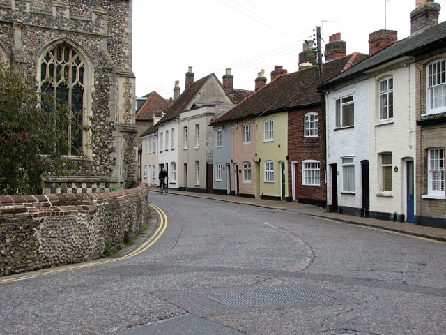
Image: © Evelyn Simak Taken: 2 Oct 2010
Here the road circumnavigates All Saint's church > http://www.geograph.org.uk/photo/2093948 the east end of which can be seen at left.
Images are licensed for reuse under creativecommons.org/licenses/by-sa/2.0
Image Location
Latitude
52.035719
Longitude
0.72341