Factory Lane allotments, Usk
Introduction
The photograph on this page of Factory Lane allotments, Usk by Jaggery as part of the Geograph project.
The Geograph project started in 2005 with the aim of publishing, organising and preserving representative images for every square kilometre of Great Britain, Ireland and the Isle of Man.

There are currently over 7.5m images from over 14,400 individuals and you can help contribute to the project by visiting https://www.geograph.org.uk
Factory Lane allotments, Usk
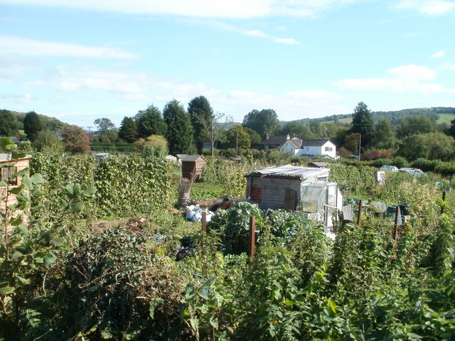
Image: © Jaggery Taken: 26 Sep 2010
Monmouthshire County Council's Usk allotments, viewed from the corner of Monmouth Road. There are 43 allotment plots.
Images are licensed for reuse under creativecommons.org/licenses/by-sa/2.0
Image Location
Latitude
51.70795
Longitude
-2.891443