The River Sence
Introduction
The photograph on this page of The River Sence by Kate Jewell as part of the Geograph project.
The Geograph project started in 2005 with the aim of publishing, organising and preserving representative images for every square kilometre of Great Britain, Ireland and the Isle of Man.

There are currently over 7.5m images from over 14,400 individuals and you can help contribute to the project by visiting https://www.geograph.org.uk
The River Sence
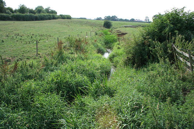
Image: © Kate Jewell Taken: 26 Jul 2006
Looking down stream along the River Sence which splits into two in this square. The land to right is really a big island.
Images are licensed for reuse under creativecommons.org/licenses/by-sa/2.0
Image Location


Leaflet Map data © OpenStreetMap
Latitude
52.553763
Longitude
-1.079623