Blackwaterfoot: waterfall and bridge
Introduction
The photograph on this page of Blackwaterfoot: waterfall and bridge by Chris Downer as part of the Geograph project.
The Geograph project started in 2005 with the aim of publishing, organising and preserving representative images for every square kilometre of Great Britain, Ireland and the Isle of Man.

There are currently over 7.5m images from over 14,400 individuals and you can help contribute to the project by visiting https://www.geograph.org.uk
Blackwaterfoot: waterfall and bridge
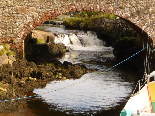
Image: © Chris Downer Taken: 27 Sep 2010
The arch of the stone bridge frames a small waterfall rather nicely as the main road is carried over Black Water.
Images are licensed for reuse under creativecommons.org/licenses/by-sa/2.0
Image Location
Latitude
55.501938
Longitude
-5.333749