Boundary marker stone for Harrington Dock
Introduction
The photograph on this page of Boundary marker stone for Harrington Dock by Raymond Knapman as part of the Geograph project.
The Geograph project started in 2005 with the aim of publishing, organising and preserving representative images for every square kilometre of Great Britain, Ireland and the Isle of Man.

There are currently over 7.5m images from over 14,400 individuals and you can help contribute to the project by visiting https://www.geograph.org.uk
Boundary marker stone for Harrington Dock
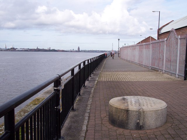
Image: © Raymond Knapman Taken: 30 Sep 2010
The dock has been filled in and developed, leaving this stone as a reminder
Images are licensed for reuse under creativecommons.org/licenses/by-sa/2.0
Image Location
Latitude
53.379989
Longitude
-2.976649