Southport Road (A570) Approaching Boundary Bridge
Introduction
The photograph on this page of Southport Road (A570) Approaching Boundary Bridge by David Dixon as part of the Geograph project.
The Geograph project started in 2005 with the aim of publishing, organising and preserving representative images for every square kilometre of Great Britain, Ireland and the Isle of Man.

There are currently over 7.5m images from over 14,400 individuals and you can help contribute to the project by visiting https://www.geograph.org.uk
Southport Road (A570) Approaching Boundary Bridge
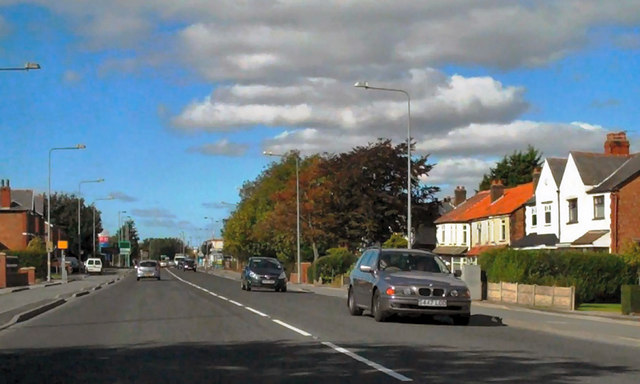
Image: © David Dixon Taken: 25 Sep 2010
Southport Road, approaching Boundary Bridge where it crosses Boundary Brook, entering Southport and changing its name to Sacrisbrick Road.
Images are licensed for reuse under creativecommons.org/licenses/by-sa/2.0
Image Location
Latitude
53.631036
Longitude
-2.96783