
Stepped path in Kett's Heights
Introduction
The photograph on this page of Stepped path in Kett's Heights by Evelyn Simak as part of the Geograph project.
The Geograph project started in 2005 with the aim of publishing, organising and preserving representative images for every square kilometre of Great Britain, Ireland and the Isle of Man.

There are currently over 7.5m images from over 14,400 individuals and you can help contribute to the project by visiting https://www.geograph.org.uk
Stepped path in Kett's Heights
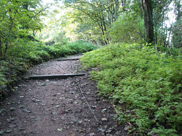
Image: © Evelyn Simak Taken: 30 Sep 2010
Kett's Heights is one of the hidden gems of the city of Norwich, provided one likes remote places. About half-way up Ketts Hill > http://www.geograph.org.uk/photo/2090149 there is a black iron gate > http://www.geograph.org.uk/photo/2090166 that is always open during daytime. Follow the stepped path up the slope and you will find yourself in a world very different from the busy roads surrounding this site. The area is locally known as Kett's Heights and it would have been covered in dense woodland in the 12th century, when Losinga, the first bishop of Norwich, had a clearing made at its top for the construction of a priory and a chapel. The chapel was dedicated to St Michael, and from its west end one could look across the city of Norwich below. The building was no longer used by the time Robert Kett and his rebel army camped here in 1549 on occasion of their siege of the city. And then the area appeared to have been forgotten about for the next 250 years until a garden was established here in the 1830s by the manager of the newly established gasworks > http://www.geograph.org.uk/photo/2090289 in the vicinity. The old terraces, walls and steps - constructed by using materials from the gasworks > http://www.geograph.org.uk/photo/2090224 - were still being used in the 1940s but by this time the gardens had been transformed into allotments. The ruined old stable block > http://www.geograph.org.uk/photo/2090182 about half way up the slope was used as a piggery and a nearby concrete-lined pond > http://www.geograph.org.uk/photo/2090195 served for watering the livestock. Part of the gardens were used as an orchard where pear and apple trees used to grow. Two of the trees can still be seen at the edge of this orchard - they have long side branches and are all that remains of a row of trees that used to form an espalier > http://www.geograph.org.uk/photo/2090204. The narrow paths > http://www.geograph.org.uk/photo/2090210 wind their ways up the slope, forking and diverging until finally one arrives at the entrance to a steep flight of steps > http://www.geograph.org.uk/photo/2090234 which lead to the highest point that is also the site of the ruined chapel there. A substantial part of its north wall is still standing, albeit very overgrown. Greenhouses had at one time been added on to the ruin, and the brick walls > http://www.geograph.org.uk/photo/2090249 at both east and west ends date from this time. A few metres to the north-west stands a beacon > http://www.geograph.org.uk/photo/2090271 which can be seen when lit, looking upwards from the city, just as the chapel would once have been visible before it fell into ruin. After the war the site was neglected and soon became overgrown, and eventually forgotten. It took until 1970, when it was gifted to the council, that paths and steps were cleared and reclaimed from nature. After building and restoration work was completed in 1985 it was opened to the public.
Images are licensed for reuse under creativecommons.org/licenses/by-sa/2.0
Image Location

Latitude
52.633482
Longitude
1.312028