The Collie Burn
Introduction
The photograph on this page of The Collie Burn by Iain Smith as part of the Geograph project.
The Geograph project started in 2005 with the aim of publishing, organising and preserving representative images for every square kilometre of Great Britain, Ireland and the Isle of Man.

There are currently over 7.5m images from over 14,400 individuals and you can help contribute to the project by visiting https://www.geograph.org.uk
The Collie Burn
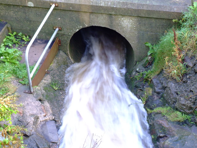
Image: © Iain Smith Taken: 30 Sep 2010
The Collie Burn enters a culvert to take it beneath the A982 on its way to join the river Ugie.
Images are licensed for reuse under creativecommons.org/licenses/by-sa/2.0
Image Location
Latitude
57.516276
Longitude
-1.810688