Multiple use on the Haswell to Hart railway path
Introduction
The photograph on this page of Multiple use on the Haswell to Hart railway path by Oliver Dixon as part of the Geograph project.
The Geograph project started in 2005 with the aim of publishing, organising and preserving representative images for every square kilometre of Great Britain, Ireland and the Isle of Man.

There are currently over 7.5m images from over 14,400 individuals and you can help contribute to the project by visiting https://www.geograph.org.uk
Multiple use on the Haswell to Hart railway path
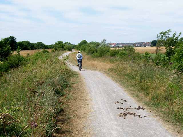
Image: © Oliver Dixon Taken: 24 Jul 2006
Cyclists, horse-riders (and walkers) can share this delightful railway path which was constructed as part of the Turning the Tide project. http://www.turning-the-tide.org.uk/
Images are licensed for reuse under creativecommons.org/licenses/by-sa/2.0
Image Location


Leaflet Map data © OpenStreetMap
Latitude
54.732292
Longitude
-1.305816