A419 - start of the Latton bypass
Introduction
The photograph on this page of A419 - start of the Latton bypass by J Whatley as part of the Geograph project.
The Geograph project started in 2005 with the aim of publishing, organising and preserving representative images for every square kilometre of Great Britain, Ireland and the Isle of Man.

There are currently over 7.5m images from over 14,400 individuals and you can help contribute to the project by visiting https://www.geograph.org.uk
A419 - start of the Latton bypass
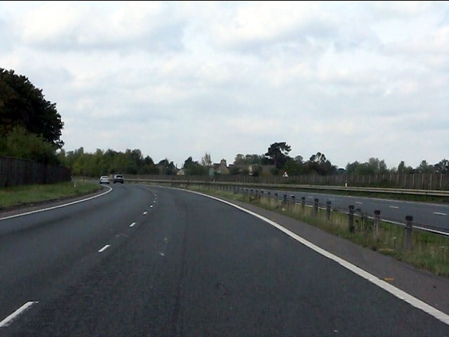
Image: © J Whatley Taken: 22 Sep 2010
The highway curves away from the Roman alignment with houses on Ermin Way visible in the distance.
Images are licensed for reuse under creativecommons.org/licenses/by-sa/2.0
Image Location
Latitude
51.656682
Longitude
-1.86667